
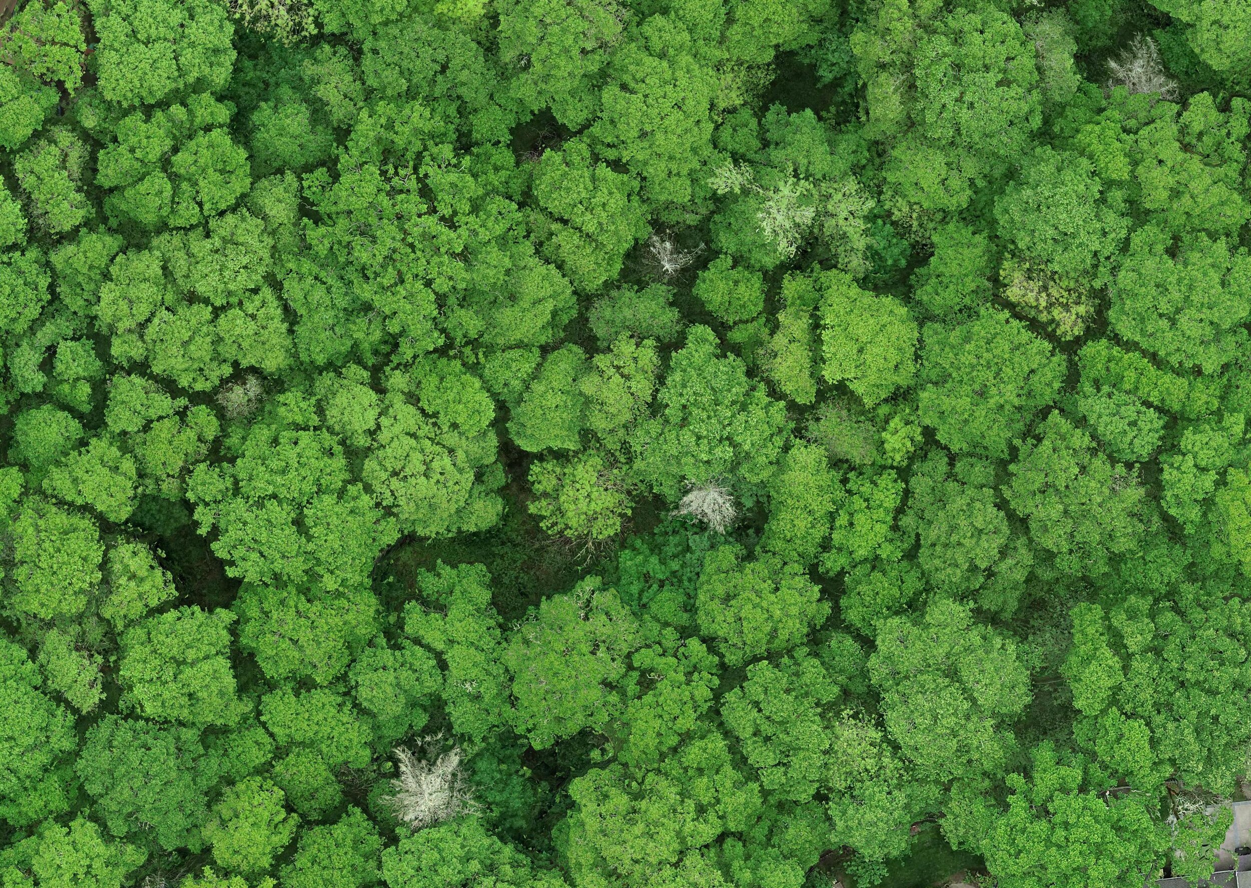
Aerial Mapping
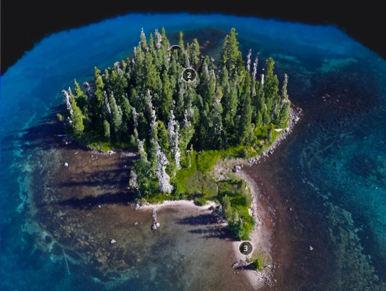
Aerial mapping (also called aerial surveying) is the process of taking pictures from the air and using software to digitally “stitch” them together into a high-resolution map of your site. It can be done using standard visual imagery (RGB) or with multispectral and hyperspectral sensors to capture the data needed for your application.

Enable Hi-Res Visibility on a Landscape Scale
➜ See more than satellite imagery with resolutions as high as 1.0 inch/pixel over hundreds of acres
➜ Map and measure metrics that only aerial imagery can provide
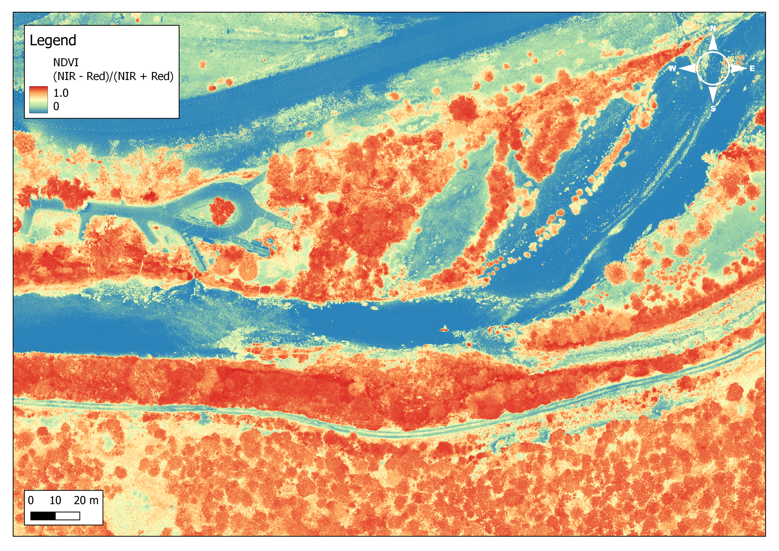
Provide Empowering Insights & Engagement
➜ Quantify changes over time with autonomous, repeatable flights
➜ Engage your followers with custom maps and comparisons of your work

ForeSight is Your Drone Department
➜ Avoid the hassle of time-intensive FAA certification, equipment expertise and maintenance, and costly software licensing
➜ Outsource to save time and money. Just get the data you need.
Deliverables
✔︎ High-resolution orthomosaic file of your site in GeoTIFF format
✔︎ Compatibility with all major GIS mapping software (e.g. ESRI, QGIS, etc.)
✔︎ No GIS staff? We deliver high-res KMZ format orthomosaics compatible with Google Earth Pro for accessible analysis
✔︎ Medium-resolution embeddable map viewer for reporting, communications and accessibility
What Our Partners Say
Our Work Process
1
Planning
Based on your needs, we develop an appropriate flight plan to capture your area of interest. We plan for the resolution needed to get the data you need, with the accuracy you demand. We handle all FAA authorizations, planning for hazards, and logistics of flight operations.
2
Pre-production
Select the right payload for the job: RGB, multispectral, hyperspectral, LiDAR, and thermal payloads. Learn more about LiDAR and aerial topographic mapping.
3
Field Operations
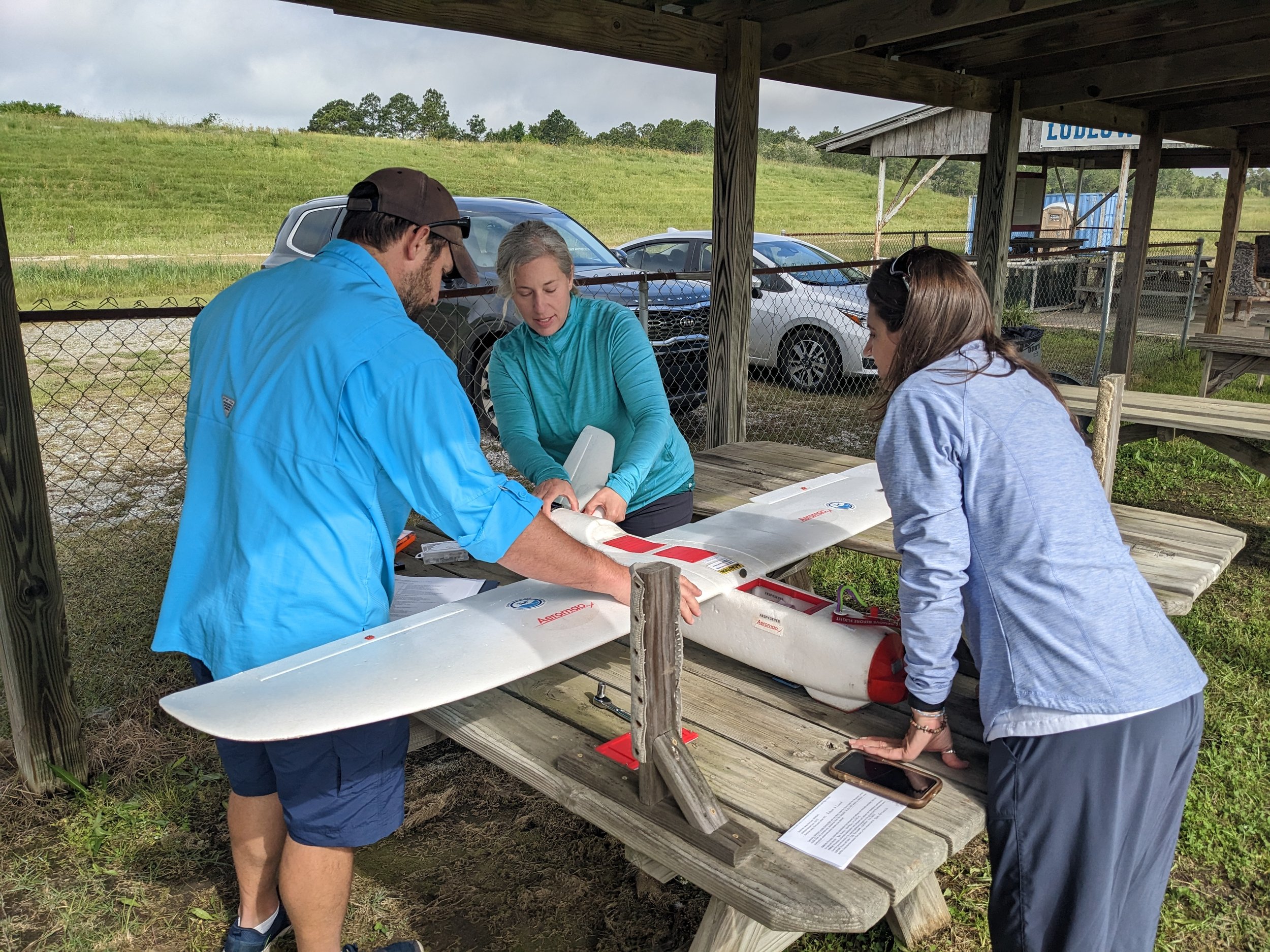
Our team of FAA Part 107 certified pilots will come to your site and fly an automated flight path to capture many overlapping images over the entire area of interest. One or many flights may be needed depending on the size of the area. We deploy a series of Ground Control Points (GCPs) to ensure the accuracy needed to integrate with existing datasets, and for future repeatability.
4
Post-processing
We use specialized software and high performance computers to correct for lens distortion and digitally “stitch” all of the images together into one large image - an orthomosaic.
5
Analysis
Once you have a high-resolution orthomosaic, the possibilities for GIS analysis for classification, counting, measuring and making insights is limitless. Ask us about our GIS Analysis (link to GIS Analysis) offerings.
Applications
See our comprehensive list of applications for aerial imagery.
-
Whether it's habitat assessments, resilience assessments, vulnerability assessments, or strategic action planning, aerial mapping can provide insights for planning and prioritizing limited resources.
-
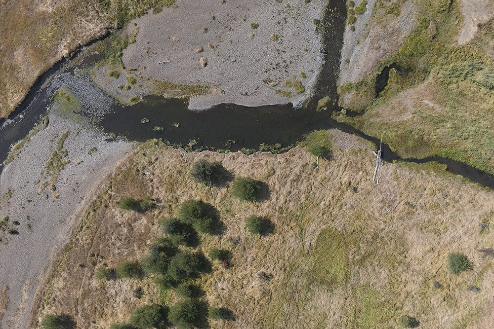
Repeat aerial mapping enables temporal analysis. Measure phenological and man-made changes, whether it's leaf on vs. leaf off, or low water vs. high water, or before and after a stage 0 river restoration, aerial mapping enables qualitative analysis on a landscape scale.
-
Land-trusts are benefitting from using remote sensing for conservation easement monitoring. Supported by The Land Trust Alliance, drone-based mapping can be used to satisfy monitoring requirements for acreditation. With 10x to 100x more data than satellite imagery, drone-based aerial mapping provides a great permanent snapshot in your archive for all future comparisons.
-
There are many flavors of ecological restoration that benefit from aerial imagery for effectiveness monitoring! To name a few: dam removal, stage 0 river restoration, juniper removal, prescribed burning, wetland restoration, and many more.
-
You can't manage what you can't measure. And you can't measure what you can't sense. The aerial perspective enables qualitative analysis for better science, and stewardship.
-
Remotely sensed data brings your inquiry to the landscape scale. Drone-based aerial imagery is quickly being adopted in myriad fields of ecology. We partner with researchers to apply state-of-the-art methods or developing novel approaches to many areas of study.
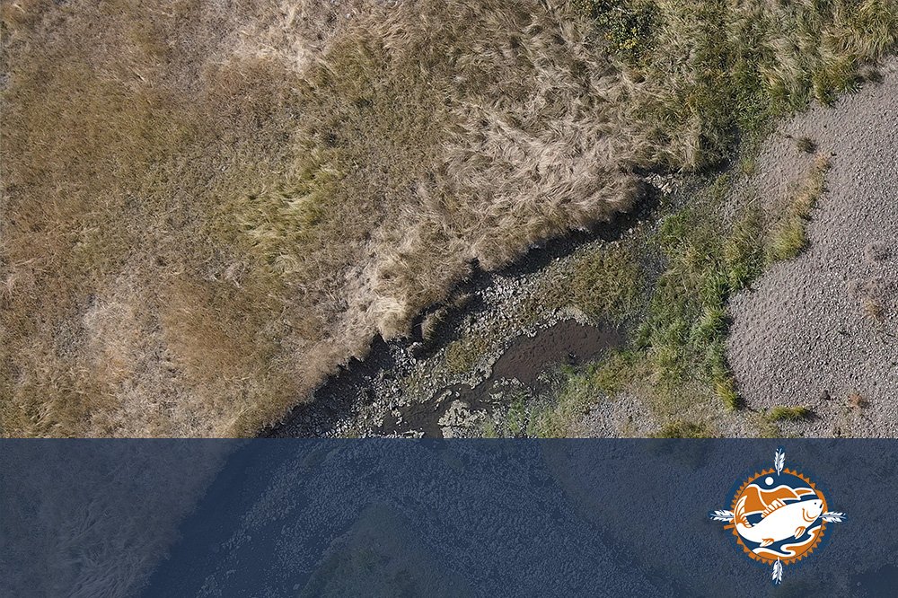
FEATURED CASE STUDY
Columbia River Inter-Tribal Fish Commission Habitat Assessment Using Aerial Mapping
FAQs
-
Aerial mapping, also known as aerial surveying, involves taking photographs from the air and using software to digitally stitch them together into a high-resolution map of a specific site or area.
-
While we offer high quality, and high accuracy map products, no, ForeSight is not a licensed land surveyor in Oregon or any other state.
-
Aerial mapping offers several advantages over traditional ground-based surveying methods:
Data richness: Drone-based aerial mapping is the highest resolution “portrait” of your site possible. When compared to most satellite imagery, there’s 10 to 100 times more data in the final drone-based map! That provides the possibility to measure metrics not visible on satellite imagery across an entire landscape, with much less time and effort than using a field-crew.
Efficiency: Aerial mapping can cover large areas quickly and efficiently, making it a cost-effective solution for landscape-scale projects. Aerial mapping works best for sites from 10 to 2000 acres.
Accuracy: Aerial mapping produces highly accurate maps by utilizing georeferencing techniques like GCPs, RTK, or PPK for maps that can be precisely aligned with existing and future datasets. This is required for applications such as individual tree segmentation and tracking over time.
Safety: Aerial mapping eliminates the need for field crews to traverse dangerous or inaccessible terrain, like wetlands, river-crossings, landslides, and estuaries.
Temporal Control: Most satellite imagery is captured at arbitrary times that may not align with the seasonal changes of interest, or the project milestones. Some satellite imagery can be commissioned at specific times, but weather conditions, like cloud cover, and costs can be prohibitive.
Archival Insurance: Field crews will only collect the sparse data in their protocol, but what if after time has passed, more questions arise about prior conditions? Drone-based Aerial Mapping is the best way to archive the conditions of your site prior to restoration or natural changes over time. It’s like having a school yearbook portrait to look back at and smile on how much growth has occurred :-)
-
Scale: For projects from 2 to 2000 acres, drone-based Aerial Mapping is usually the more cost-effective solution for orthoimagery. But, if your area of interest is larger than 2000 acres, consider finding a satellite imagery solution for your needs.
Data richness: When compared to most satellite imagery, there’s 10 to 100 times more data in the final drone-based map! That provides the possibility to measure metrics not visible on satellite imagery across an entire landscape, and with much less time and effort than using a field-crew.
Temporal Control: Most satellite imagery is captured at arbitrary times that may not align with the seasonal changes of interest, or the project milestones. Some satellite imagery can be commissioned at specific times, but weather conditions, like cloud cover, and costs can be prohibitive.
-
We use advanced unmanned drones equipped with high-resolution cameras. For more specialized applications, we employ multispectral, hyperspectral, and thermal sensors to capture a wide range of data based on your requirements.
-
RGB imaging captures images in the red, green, and blue spectrum, similar to standard cameras. Multispectral imaging captures light in several specific parts of the spectrum, while hyperspectral imaging covers a broader range and captures data in hundreds of narrow bands. Multispectral and hyperspectral imagery can be valuable in evaluating vegetation for extent, health, classification, and speciation in some cases.
-
Yes, our services are highly scalable and suitable for projects of various sizes, from small sites of an acre or two to large-scale landscapes of 2000 acres are all accessible with drone-based Aerial Mapping.
-
Aerial mapping is valuable for urban planning, agriculture, environmental monitoring, restoration, river geomorphology, vegetation classification, revegetation planning, resiliency planning, wildlife surveys, and many other fields requiring detailed site analysis. See our Applications List for a more complete list of relevant applications.
-
Ideal conditions vary by project. We’ll start by understanding the questions you hope to answer and goals you want to achieve with Aerial Mapping. Specific seasons may be preferable depending on the project goals: leaf-on vs. leaf-off, high water vs low water, high tide vs low tide. When compared to satellite imagery, drone-based Aerial Mapping provides superior temporal control.
-
Data is processed and can be delivered in various digital formats, compatible with GIS and other analysis software, as per client requirements. Our files are compatible with all major software platforms, like ESRI Arc Desktop, QGIS, Google Earth, and many others.
-
Absolutely, the maps produced can be easily integrated with existing GIS data for comprehensive spatial temporal analysis and planning.
-
Aerial mapping is subject to local and federal aviation and privacy laws. We handle all necessary permissions and comply with legal requirements.
Other Services
-
![]()
360° Virtual Tours
Give your audience an experience. Engage the next generation of followers
-
![]()
3D Story Mapping
Wow funders with guided virtual tours of your site in 3D. Engage the next generation of supporters.
-
![]()
Aerial Topo Mapping
Analyze your site in three dimensions for better stewardship Bring your site to supporters with a digital 3D Story Map
-
![]()
Photo-Point Monitoring
Tell the story of seasonal and restoration changes on a landscape scale
-
![]()
Aerial Photo & Video
Tell the story of your work with rich and eye-catching visuals from above
-
![]()
GIS Analysis
Turn raw aerial data into actionable insights. Answer research questions and report to stakeholders.
-
![]()
Drone Training
Build drone capacity in-house. We develop custom curricula tailored to your organization and team needs.




Interested in aerial mapping?
Stay informed with the latest updates! Learn how Foresight Drones is collaborating with local organizations to positively influence the Pacific Northwest ecology.