
GIS Analysis
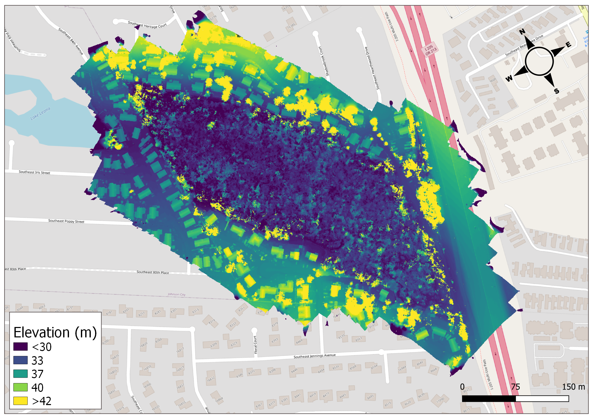
Our GIS experts can help you turn raw aerial data into actionable insights. Importing an orthomosaic or Digital Elevation Model into a GIS suite opens up a world of possibilities for creating counts and measurements to answer your research questions, prioritize limited resources, and report impacts to stakeholders
Turn aerial data into actionable insights
Harness the power of aerial data with our GIS Analysis. We offer a plethora of analytical options, from counts to measurements, tailored to address your research inquiries.


Deliverables
✔︎ Together we define the scope and metrics of interest for your needs.
✔︎ Data delivered in raster, vector, or tabular formats.
✔︎ A detailed methods report is provided to support your reporting and publication needs.


What Our Partners Say
Applications
See our comprehensive list of applications for aerial imagery and GIS analysis.
-
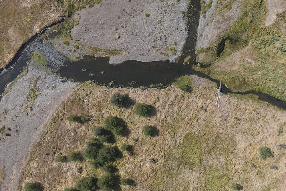
There are many too many metrics to list them all, but for example, when assessing habitat in a salmon river, some of the potential metrics that can be measured with Aerial Mapping and GIS Analysis are: river complexity, side channel ratio, riparian tree cover, riparian tree height, large wood area percentage, overhanging vegetation cover.
Let's talk about the metrics you're most interested in and how we can help capture them at scale.
-
Cheatgrass, milfoil, reed canary grass, thistle, loosestrife, armenian blackberry, all can be massive problems for land stewards. Measuring the problem is the first step to doing something about it.
-
GIS Analysis can help measure changes due to beaver reintroduction, or wetland restoration, or stage 0 river restoration, etc, etc.
-
With repeat mapping, GIS Analysis can quantify changes over time, whether those changes are phenological, or man-made, or climate change induced.
-
With aerial mapping and GIS Analysis, measure emergent vegetation, invasive species, and classify plant communities.
-
Make detailed and geoaware planting plans that consider slope, elevation, and height above river for increased diversity and survival rates.
-
Fuel modeling and classification, burn severity assessment, risk assessment and planning.
-
Forest inventory, health and stress indication, timber volume estimation, habitat mapping, reporting and documentation.
-
Supervised and unsupervised classification, multispectral for vegetation health and species discrimination, invasive species detetion, fire fuel type mapping, and monitoring restoration efforts.
-
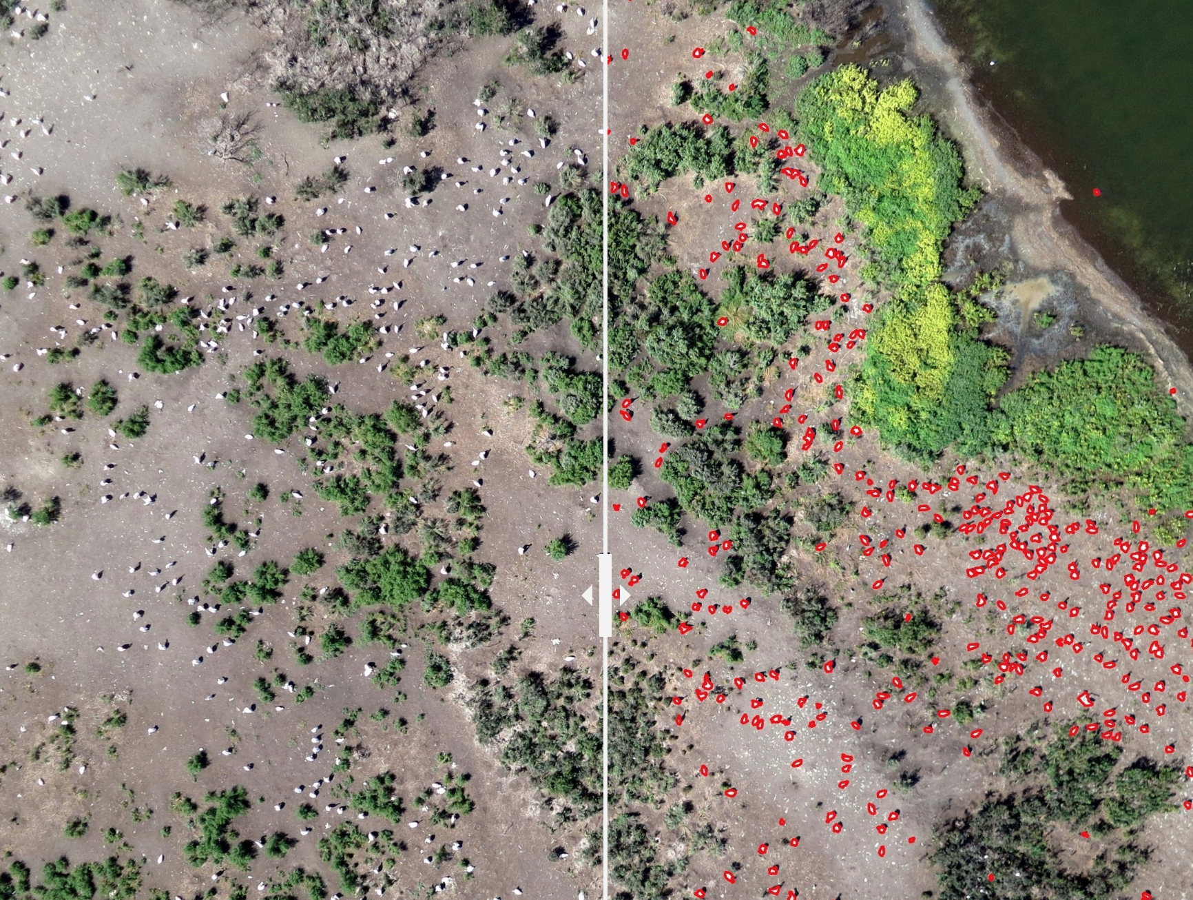
Colonial nesting bird surveys with machine learning object detection, marine mammal surveys, habitat classification.
FEATURED CASE STUDY
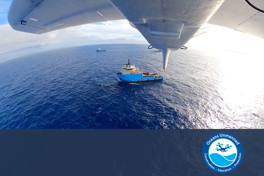
Surveying marine debris in the Great Pacific Garbage Patch utilizing ship-launched drones
FAQs
-
Geographic Information System (GIS) Analysis involves turning raw aerial data, such as orthomosaics or Digital Elevation Models, into actionable insights. By importing this data into a GIS suite, we can analyze and interpret it to answer specific research questions, manage resources, and report impacts.
-
An orthomosaic is a series of individual photos stitched together to form a single, high-resolution map image. Read more about our Aerial Mapping service. A Digital Elevation Model (DEM) is a 3D representation of a terrain's surface, created from terrain elevation data. Read more about our Aerial Topo Mapping.
-
“You can’t manage what you can’t measure.” And you can’t measure what you can’t see. Aerial Imagery gives you the perspective, and GIS Analysis gives you the measurements.
GIS Analysis can assist with environmental monitoring, ecological resource planning, resource management, and many more. See our complete list of applications. GIS Analysis enables data-driven insights for better management and stewardship.
-
We can analyze a wide range of aerial data, including 2D land cover, vegetation indices, and 3D topographic data, depending on your project needs. GIS Analysis can also incorporate other publicly available datasets like LiDAR, and satellite imagery datasets from government agencies.
-
Yes, our GIS Analysis services are scalable and can be applied to projects of any size, from small local studies to large regional analyses.
-
By providing detailed spatial information, GIS Analysis helps in prioritizing resource allocation, identifying areas of concern, and planning for sustainable management.
-
Our experts use a variety of industry-standard GIS software suites, which are selected based on the specific needs and goals of each project.
-
The timeframe varies depending on the project's complexity and the volume of data. We aim to deliver insightful results in a timely and efficient manner.
-
Yes, we offer training and support to help you understand and effectively use the GIS data and analysis we provide. We also provided detailed reporting of our methods for use in project reports to partners, or for scientific publication.
-
GIS Analysis can benefit a wide range of stakeholders, including government agencies, environmental organizations, researchers, and businesses.
-
Yes, we tailor our GIS Analysis services to meet the specific requirements and objectives of your project. We incorporate the latest and best methods known to science.
Other Services
-
![]()
360° Virtual Tours
Give your audience an experience. Engage the next generation of followers
-
![]()
Aerial Mapping
Monitor better with a high-res photo map of your site. Chronicle your site and measure changes over time.
-
![]()
3D Story Mapping
Wow funders with guided virtual tours of your site in 3D. Engage the next generation of supporters.
-
![]()
Aerial Topo Mapping
Analyze your site in three dimensions for better stewardship Bring your site to supporters with a digital 3D Story Map
-
![]()
Photo-Point Monitoring
Tell the story of seasonal and restoration changes on a landscape scale
-
![]()
Aerial Photo & Video
Tell the story of your work with rich and eye-catching visuals from above
-
![]()
Drone Training
Build drone capacity in-house. We develop custom curricula tailored to your organization and team needs.




Interested in GIS analysis?
Stay informed with the latest updates! Learn how Foresight Drones is collaborating with local organizations to positively influence the Pacific Northwest ecology.