
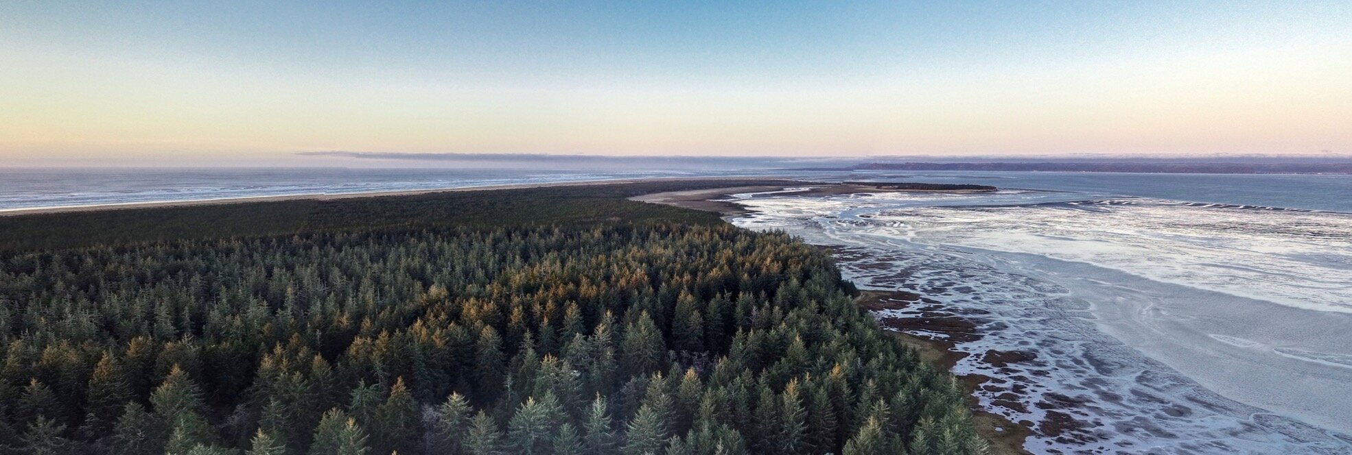
360 Virtual Tours
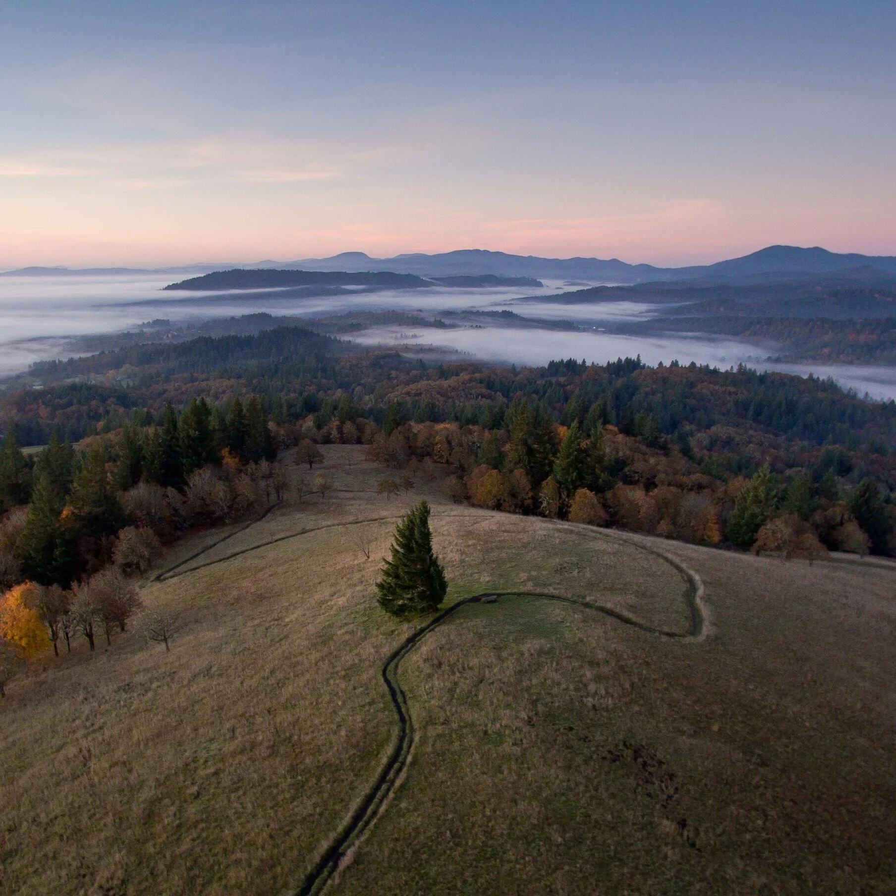
Like a virtual real-estate tour on a landscape scale. Combine aerial and terrestrial 360 panorama photos into an interactive virtual tour that engages your audience, no matter where they are.
Give your audience an experience
Increase engagement with a 360 Virtual Tours, transporting supporters directly to your unique space. Provide an interactive expedition where users can chart their own journey, promoting a more engaged and hands-on learning experience.
Increase conservation engagement

Leverage the transformative power of immersive storytelling with our 360 Virtual Tours. We work with land trusts and non-profit organizations to vividly capture and elevate conservation efforts in detail. You help your team showcase restoration projects and give supporters an interactive journey. Elevate your outreach, and let the world truly see the beauty worth protecting.
Deliverables
✔︎ Aerial viewpoint for birds-eye orientation
✔︎ Many terrestrial viewpoints in key areas
✔︎ Hosted virtual tour that can be embedded on your organization’s website to engage and educate your audience.
✔ Custom content can be included in the virtual tour, like photos, videos, text or links to more information. Tell your story with an immersive experience.
✔ Compatible with most web browsers and Virtual Reality headsets. Works with the low-cost Google Cardboard VR Headset.
What Our Partners Say
Our Work Process
1
ForeSight uses drones to capture many aerial images from the same vantage point and joins them together into spherical 360* images
2
Special camera hardware and software can be used to create ground-based, terrestrial panoramas.
3
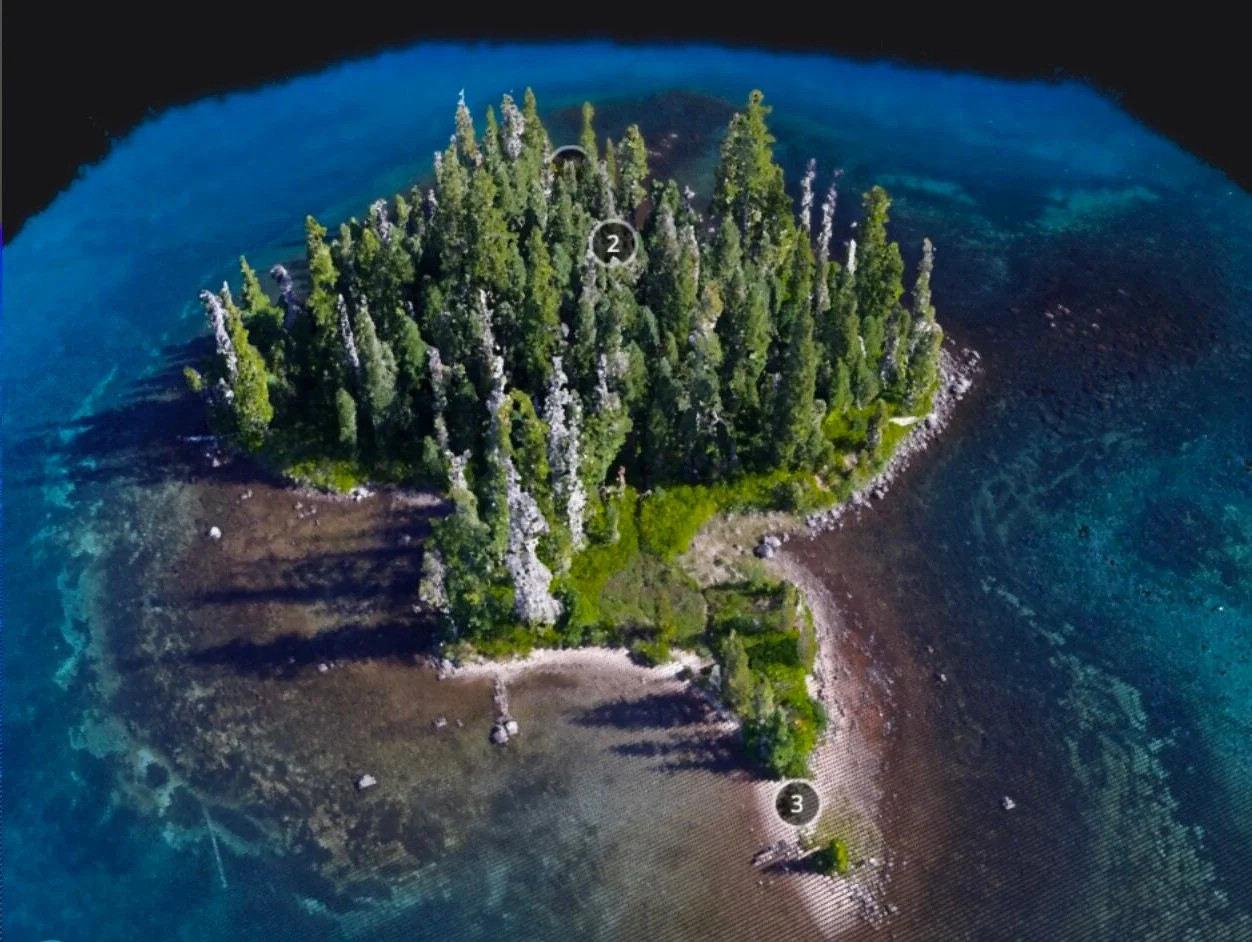
All of the panoramas are linked together into an engaging, user-friendly virtual tour with annotations.
4
We work with you to customize the content and messaging to tell the story of your site, and your impact.
Applications
See our comprehensive list of applications for 360 virtual tours and aerial imagery.
-
Sometimes your biggest supporters can't access the places they love. 360 virtual tours bring a connection-to-place to all your stakeholders, even those at a distance.
-
Wouldn't it be great if students could spend time at a wetland, or in a forest, or beside the estuary everyday to experience ecological connections? Sometimes a substitute will have to do. Custom 360 Virtual Tours bring your curriculum to educators and students.
-
Reach new donors by introducing them to the places you protect and steward.
-
Attention spans are shorter than ever, and consumers are demanding more immersive and interactive experiences to stay engaged. 360 Virtual Tours bring your sites to the public on desktop, mobile, or VR headset.
-
It's hard to get everyone on a zoom call at the same time, let alone a site visit. Get everyone on the same page with a 360 Virtual Tour.
FEATURED CASE STUDY
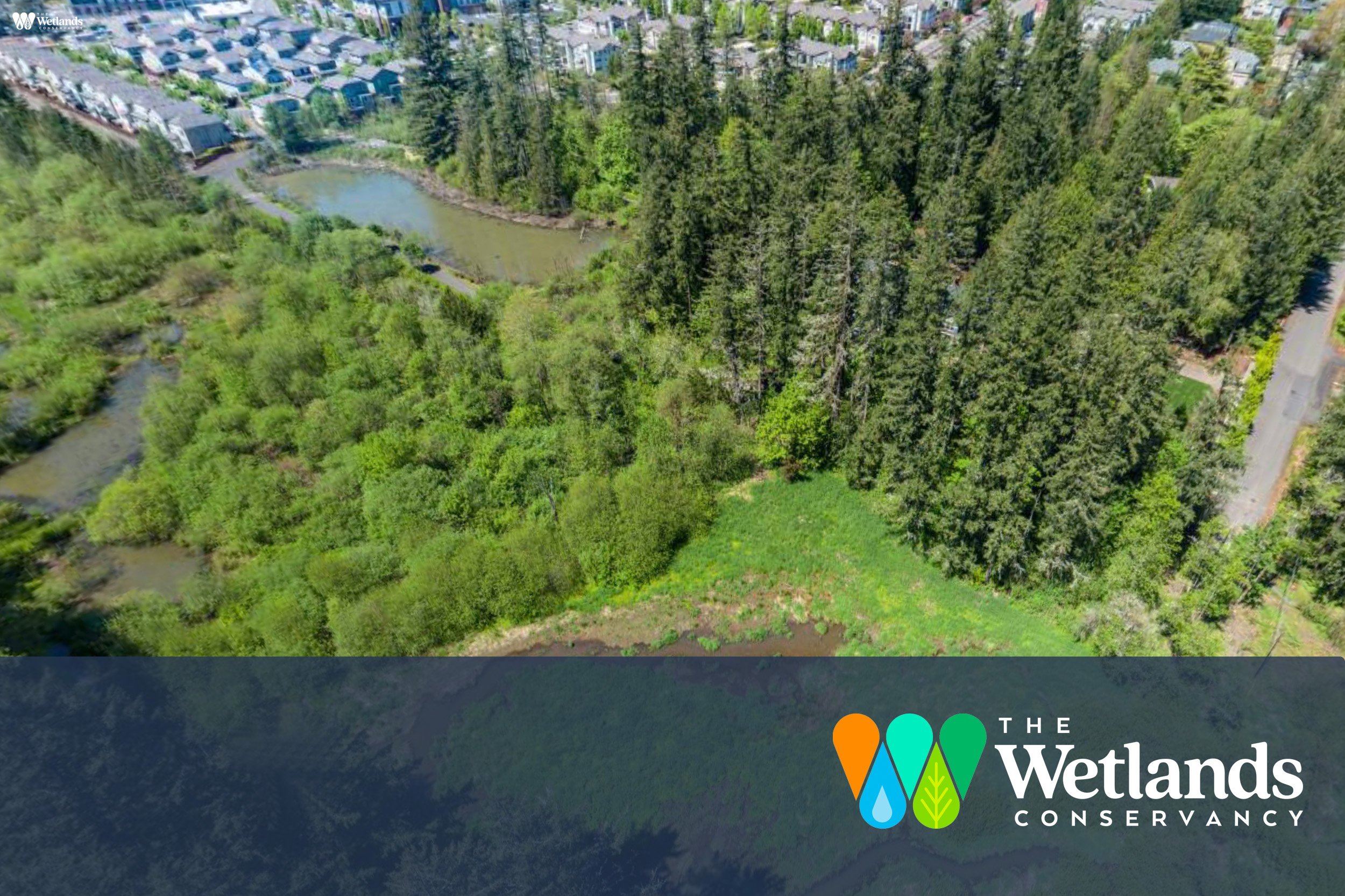
Cedar Mills Project Deep Dive: Foresight Drones and The Wetlands Conservancy Collaboration
FAQs
-
A 360 Virtual Tour is an immersive, interactive experience combining aerial and terrestrial 360-degree spherical panoramic photographs. It allows users to explore a space virtually, offering a birds-eye view and multiple ground-level perspectives.
-
These tours transport viewers into your unique space, allowing them to chart their own journey. This interactive approach promotes hands-on learning and deeper engagement with the content.
-
Our tours are ideal for land trusts, non-profit organizations, and any group looking to showcase conservation efforts, restoration projects, or any large-scale space who desires to reach an audience that can’t see your site in real-life.
-
Our tours include an aerial viewpoint for a comprehensive orientation, multiple terrestrial viewpoints in key areas, and the ability to embed the tour on your website. We also offer the option to include custom content like photos, videos, and informative links. Our virtual tours are also compatible with Google Cardboard headsets for an even more immersive experience that’s great for students!
-
Yes, we can include various types of custom content, such as additional photos, videos, text, and external links, to create a rich, immersive storytelling experience.
-
Our tours are compatible with most web browsers and can be accessed on a wide range of devices, including smartphones, tablets, and desktop computers.
-
Absolutely, our tours are compatible with Virtual Reality headsets, including low-cost options like the Google Cardboard VR Headset, enhancing the immersive experience.
-
By providing an immersive view of the space, these tours help raise awareness, educate the audience about conservation projects, and foster a deeper understanding of environmental efforts. These tours are especially impactful for areas that are difficult to access due to remote geographic locations, or challenge in accessing, like wetlands and estuaries.
-
We start with a consultation to understand your needs, followed by capturing aerial and terrestrial panoramic photos. We then create the virtual tour, integrating custom content as required.
-
The completed tour is hosted online and can be embedded directly on your organization's website, making it easily accessible to your audience, anywhere in the world.
-
We strive to make our virtual tours as intuitive as possible, and we provide necessary guidance and support to ensure you and your audience can easily navigate and make the most of the virtual tour.
-
Our team offers ongoing support for any technical issues or updates you may need for your virtual tour.
Other Services
-
![]()
Aerial Mapping
Monitor better with a high-res photo map of your site. Chronicle your site and measure changes over time.
-
![]()
3D Story Mapping
Wow funders with guided virtual tours of your site in 3D. Engage the next generation of supporters.
-
![]()
Aerial Topo Mapping
Analyze your site in three dimensions for better stewardship Bring your site to supporters with a digital 3D Story Map
-
![]()
Photo-Point Monitoring
Tell the story of seasonal and restoration changes on a landscape scale
-
![]()
Aerial Photo & Video
Tell the story of your work with rich and eye-catching visuals from above
-
![]()
GIS Analysis
Turn raw aerial data into actionable insights. Answer research questions and report to stakeholders.
-
![]()
Drone Training
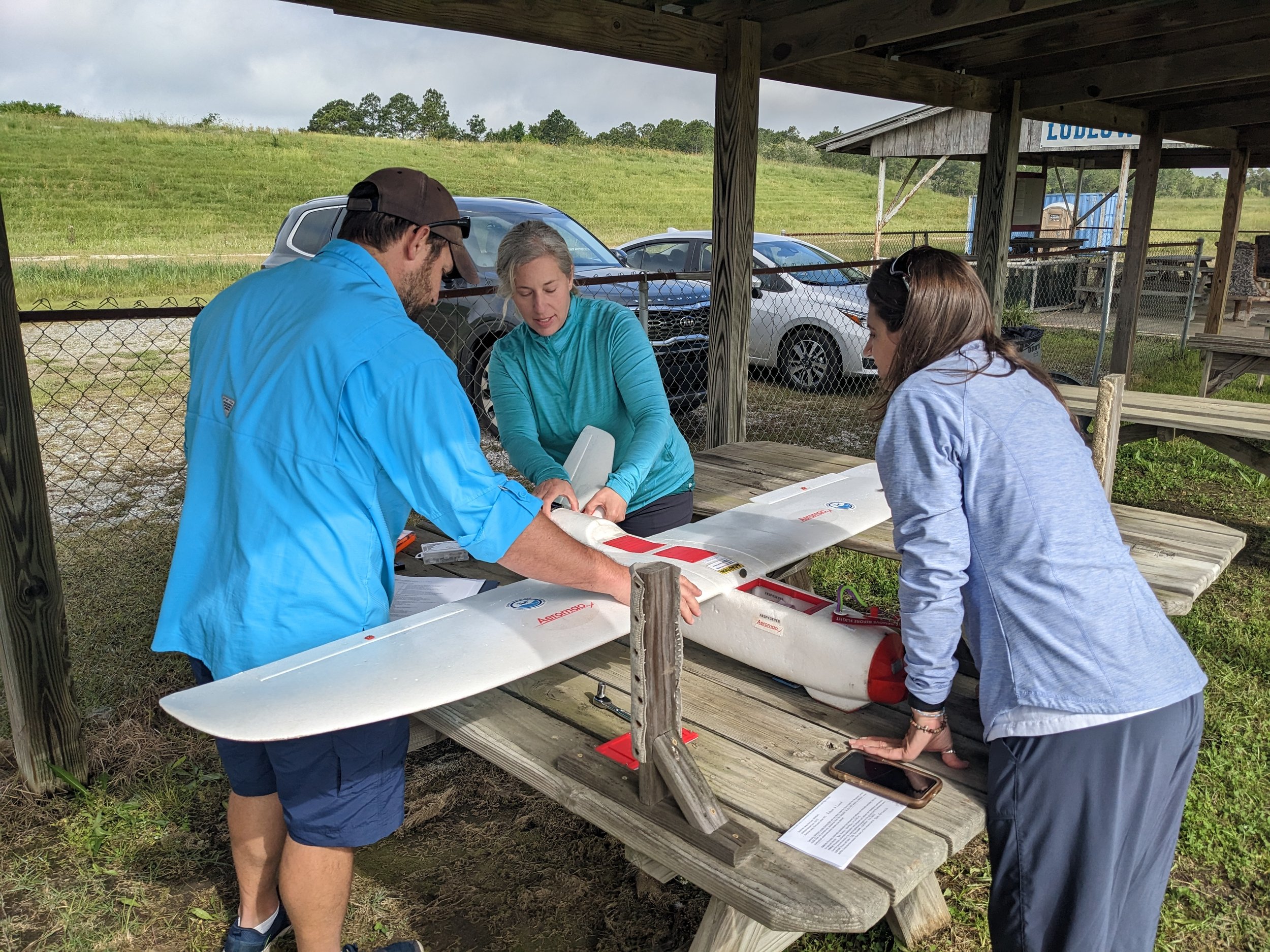
Build drone capacity in-house. We develop custom curricula tailored to your organization and team needs.




Interested in 360 virtual tours?
Stay informed with the latest updates! Learn how Foresight Drones is collaborating with local organizations to positively influence the Pacific Northwest ecology.